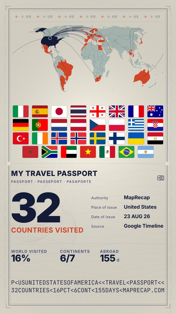
Map of countries you've visited
Tap the countries you have been to, see your stats build up — countries, % of the world, continents — and export a passport-style image to share. Free, nothing uploaded.
Tap the countries you have been to, see your stats build up — countries, % of the world, continents — and export a passport-style image to share. Free, nothing uploaded.
Fill in every country you've been to and watch your personal world map take shape — a passport-style picture you can save and share. MapRecap tallies your total countries, the share of the world you've covered and how many continents you've touched, then exports the whole thing as an image for Instagram, a blog or a wall print. Call it a visited countries map maker or just a map of countries I've visited — either way it takes a couple of minutes, and if you can't remember where you have been, a Google Timeline export fills it in from your location history.
It's the number of countries you've marked as visited out of 195 sovereign states (the 193 UN members plus the Holy See and Palestine). Micro-states like Monaco and Vatican City count too.
Yes. Analyze a Google Timeline export in MapRecap and your visited countries are detected automatically, then carried straight onto this map — no manual ticking needed.
Completely. Export as many map images as you like — no sign-up, no watermark on the map, and nothing is uploaded.
Micro-states appear as selectable dots so tiny nations like Monaco, San Marino or Liechtenstein still register. Pick them from the list and a marker is drawn on the map.